


The DIRECT (Disaster and Recovery Team) team from Politecnico di Torino has resumed its 2026 activities. Master’s students in Architecture and Building Engineering Nicolò Gallo, Cristian Imbriani, and Cristina Tosolini took part in data acquisition campaigns focused on minor architectural heritage in the Pellice and Germanasca valleys.
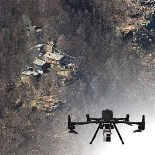
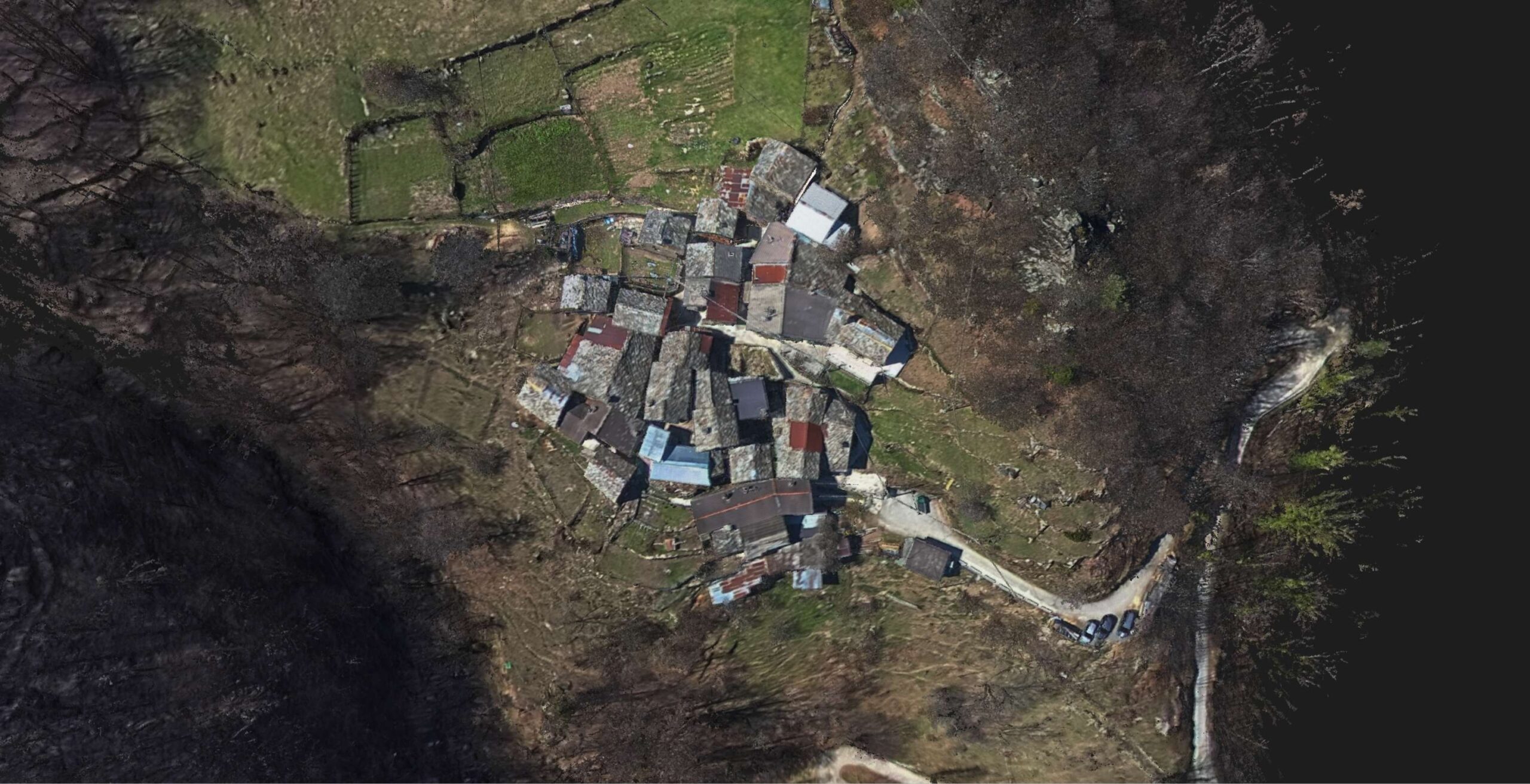
The activities enabled the survey of both exterior and interior spaces of the École du quartier de la Ravadera (dating back to 1866) and the abandoned hamlet of Poumarat, located at 1200 meters above sea level, overlooking Perrero.
The reconstructed 3D models will support restoration and adaptive reuse initiatives with a higher level of knowledge, while also preserving the memory of these places, which reflect the life, Waldensian culture, and early 20th-century history of the settlements in the Germanasca Valley. These models will also be integrated into virtual reality environments, making them accessible to people with reduced mobility and enhancing overall accessibility to this heritage.
During the fieldwork, the team tested integrated surveying techniques, combining traditional instruments with advanced technologies.
Topographic surveys were carried out using GNSS receivers to acquire control points and georeference the models. These were complemented by terrestrial laser scanners (TLS), SLAM (Simultaneous Localization and Mapping) systems for mobile surveying, and drones used to generate 3D point clouds. 360° cameras were also employed along mountain paths to reach the hamlet, with the aim of creating immersive environments for future users.
The activities were supervised by tutors Francesca Matrone, Nives Grasso, and Paolo Maschio from the Department of Environment, Land and Infrastructure Engineering (DIATI), and involved collaboration with STONEX.
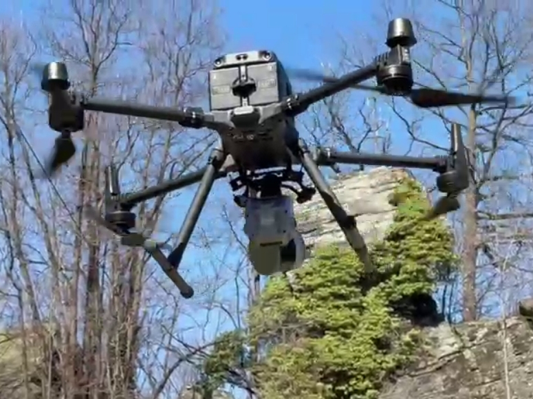
This collaboration enabled field testing of the hybrid SLAM scanner X200go, whose rotating head with LiDAR sensor can be mounted either on a handheld support for ground acquisition or on a drone (DJI Matrice 350) for aerial capture of roofs and otherwise inaccessible areas.
Special thanks to the DIRECT – DIsaster and RECovery Team of the Politecnico di Torino for their commitment, collaboration, and valuable fieldwork contribution.