January 2025
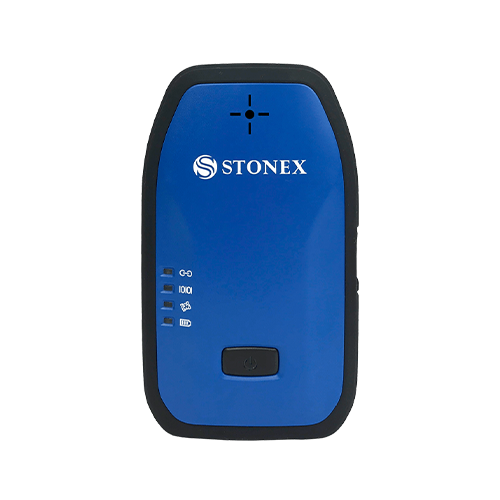
We are pleased to introduce the S590 GIS and RTK Receiver
A solution designed for professionals who demand high-accuracy positioning in challenging environments.
MULTI-CONSTELLATION SYSTEM & PPP
The S590 features a multi-constellation system that includes GPS, GLONASS, BeiDou, Galileo, QZSS, and IRNSS. With PPP correction services available (both HAS and B2b), you can rely on precise positioning data tailored to your specific needs.
HIGH PRECISION
Experience high accuracy with advanced technology that allows for the recording of raw data for post-processing. This capability is crucial for applications where precision is non-negotiable.
IMU TECHNOLOGY
The S590 is equipped with cutting-edge IMU technology, enabling rapid initialization and accurate measurements even at inclinations of up to 60 degrees. This feature ensures reliable performance in complex terrains.
DATA TRANSMISSION
Stay connected with versatile data transmission options including Wi-Fi, Bluetooth, and external radio. This flexibility allows for easy integration with your existing systems and devices, streamlining your workflow.
SOLUTION FOR DRONE
The S590 can be used as a base station for drones, significantly enhancing the accuracy and reliability of aerial operations. The base station provides correction data to the drone (rover), enabling centimeter-level precision through Real-Time Kinematic (RTK) positioning. This functionality can be easily activated through the web user interface. The S590 can also be used to measure GCPs to improve the accuracy of the survey framing.
RUGGED RTK
Built to endure, the S590 carries an IP67 rating, ensuring it can withstand harsh conditions such as dust and water exposure. This rugged design makes it ideal for use in a variety of demanding environments.

