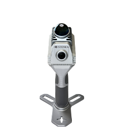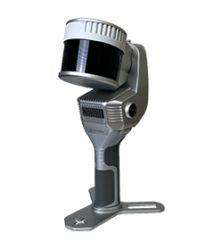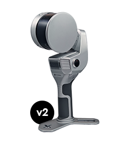
360° camera support
Quick scan 45s
Self calibrating
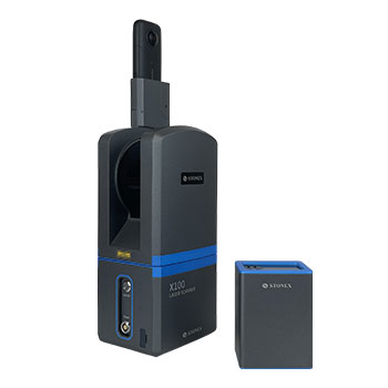
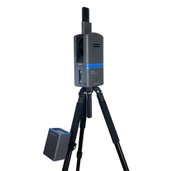
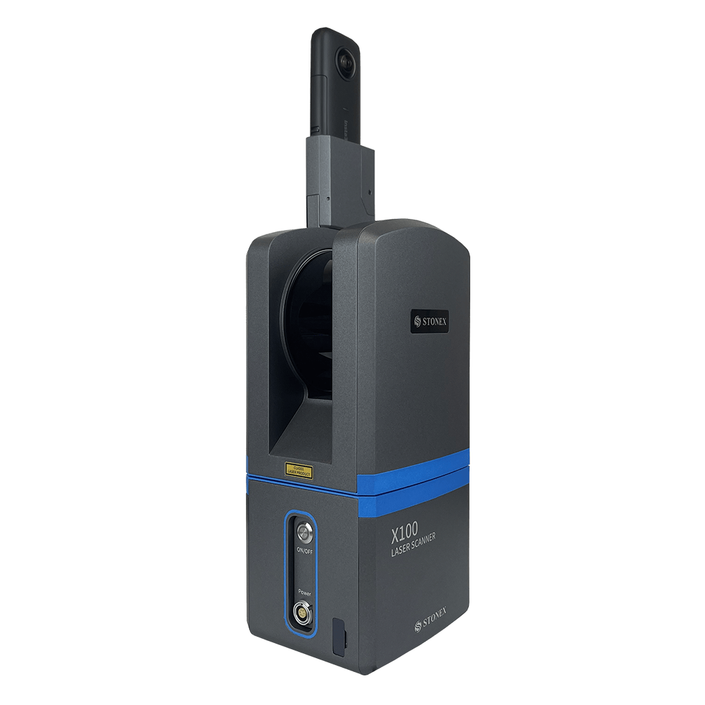
X100 Laser Scanner
Light & Fast

360° camera support
Quick scan 45s
Self calibrating
On this page:
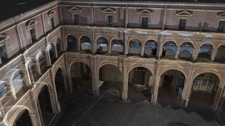
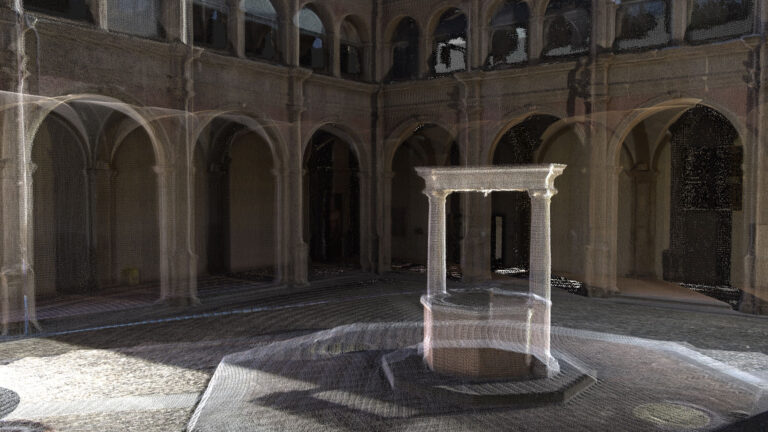
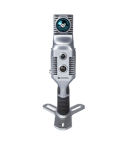
X100 is a small and compact terrestrial laser scanner that is quick and easy to use. Its multi-line lidar technology and ability to achieve complete coverage of the surrounding area enable it to calculate 3D models for a wide range of applications and scenarios, both outdoors and indoors.
The X100 is the perfect tool for quick topographic surveys, scans of building facades and data collection for floor plans; a quick 360° scan takes as few as 45 seconds. The built-in panoramic camera allows you to add true colour to your scans.
X100 is the perfect instrument for efficient and precise work in a wide range of applications:
- Land & Excavation
- Architecture & Real Estate
- Emergency Management
BUNDLED SOFTWARE
X100app
The scanner comes with its own X100app field app, making it easy to control the device. Thanks to the scan converter, the data is compatible with Cube-3d and Stonex Reconstructor, as well as third-party software.
SMALL AND LIGHT
The scanner can be easily used by a single person thanks to its small size and weight of approximately 3 kg.
WIRELESS CONTROL
Through the dedicated APP it is possible to control the device remotely. Scan with one click and check quality via real-time preview.
PANORAMIC HDR CAMERA
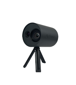
360° camera. Add colour to your scan.
SELF CALIBRATING
± 5 degrees tilt supplement angle for precise leveling. Monitor scanner leveling via electronic bubble available on the app.
FAST SCAN & DOWNLOAD
A 360° one-stop scan requires only 45s. Data are saved on USB dongle directly. Post-processing begins after field work!
OPERATING TIME
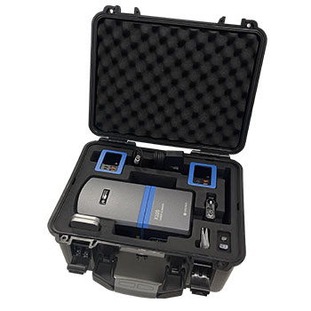
The presence of two batteries gives you the possibility of scanning for up to 6 hours
Product Video
ACCESSORIES
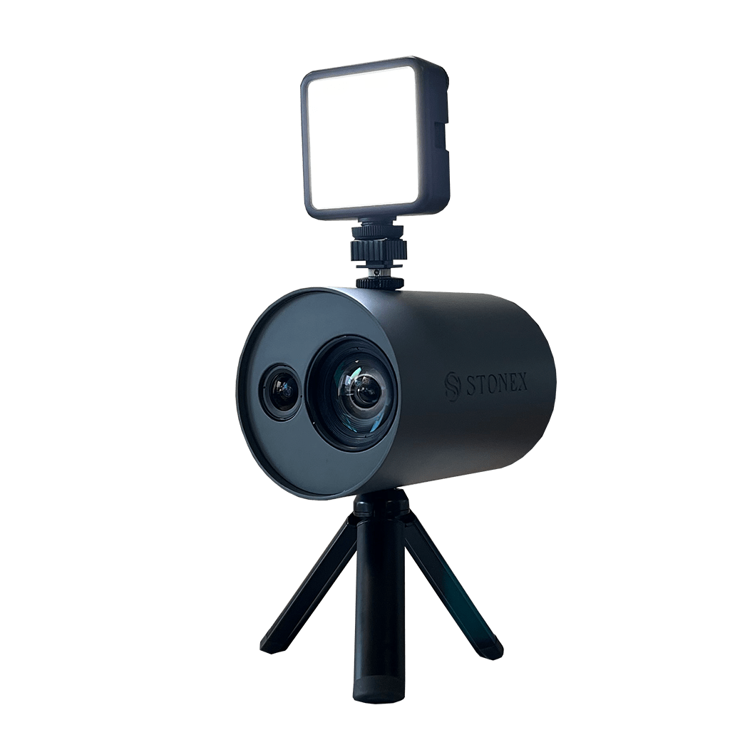
testo
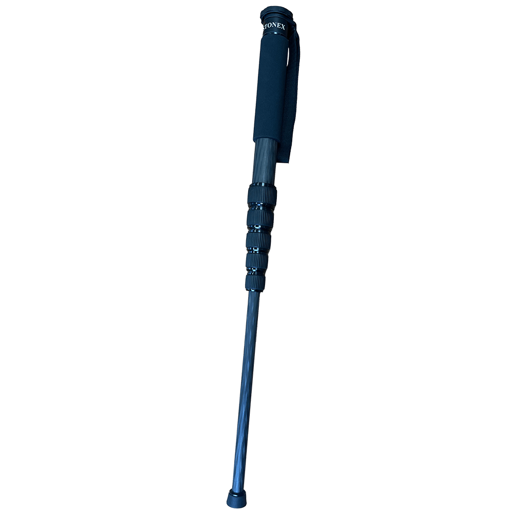
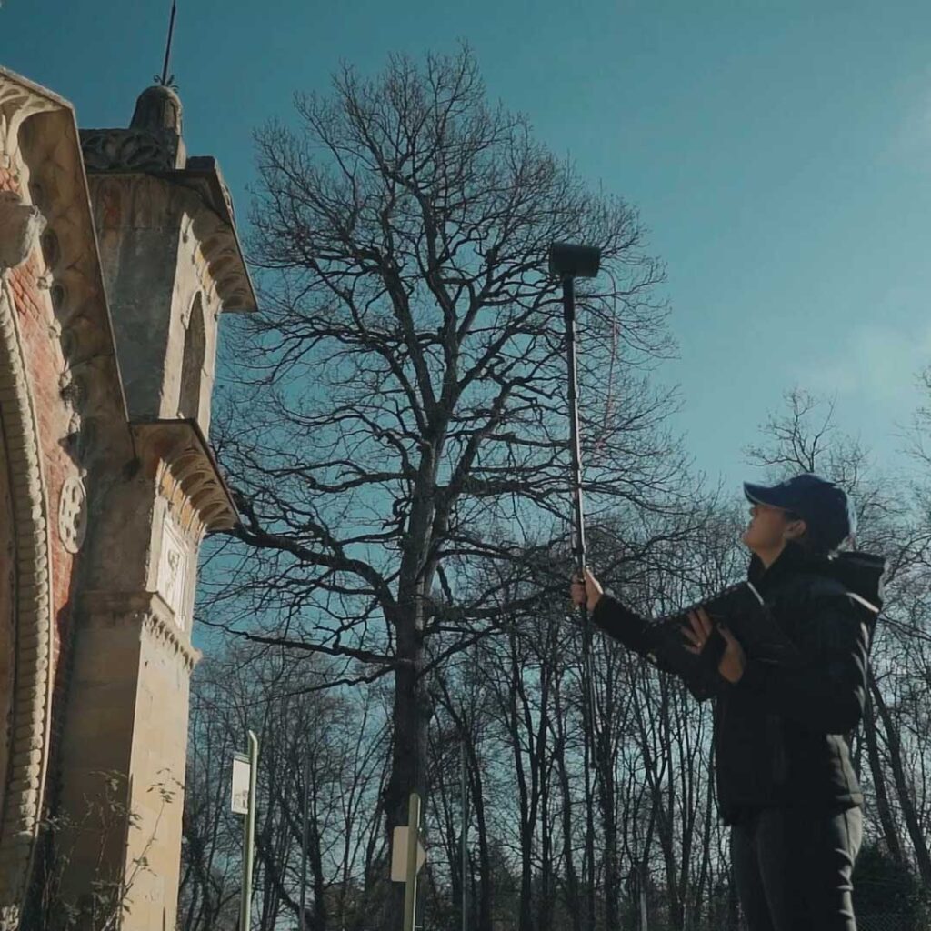
The telescopic pole allows the XVS to be mounted for scanning difficult-to-access areas of building facades.
FAQ
No, it is not mandatory. You can choose to collect data using the Android App, in case you need to see the real time preview point cloud. Otherwise, the power button of the device can work as scanning start and stop.
Yes, darkness affects neither the geometric data nor the intensity of the point cloud.
Only the color information will not be usable, having taken dark photographs.
The range shown on the brochure represents the maximum distance achieved by the lidar.
However, you have to keep in mind that in order for the SLAM algorithm to be able to process the cloud optimization, you must have geometric elements within the 50-meter range. Therefore, it is not recommended to work in environments that are too open, with no buildings or objects around.
Certainly, the first benefit of using RTK is to have the 3D model georeferenced, without the need to collect GCPs. In open environments, it can also help the SLAM algorithm in improving the final restitution.
In general, it is not mandatory: the heterogeneity of the environment may be sufficient. On the contrary, if you are in a difficult situation for SLAM, closing the loop means adding a constraint that helps the system.
Discover how a SLAM Laser Scanner can be very useful in every enviroment
Lorem ipsum dolor sit amet, consectetur adipiscing elit. Donec tincidunt eleifend quam, non imperdiet est tristique suscipit. Nunc luctus rutrum neque, nec facilisis velit interdum eget.

