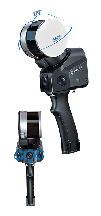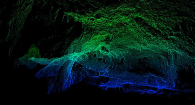
360°x 270° FOV
Ergonomic design
Automatic measuring control points
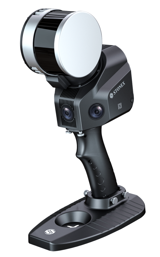
X120GO
SLAM Laser Scanner
Accurate & Versatile
DISCONTINUED PRODUCT

360°x 270° FOV
Ergonomic design
Automatic measuring control points
On this page:
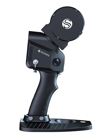
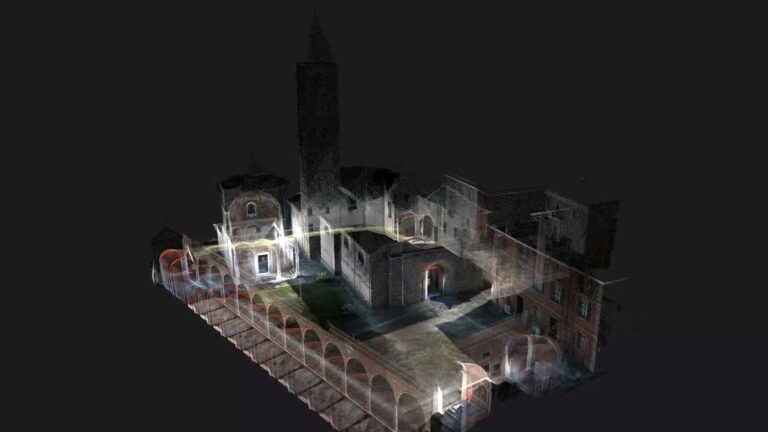
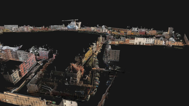
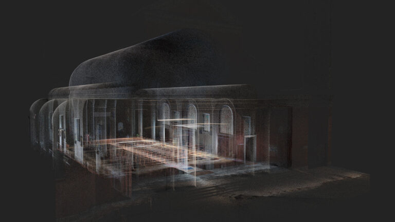
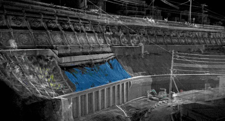
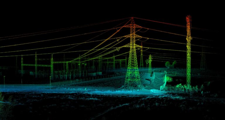
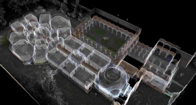
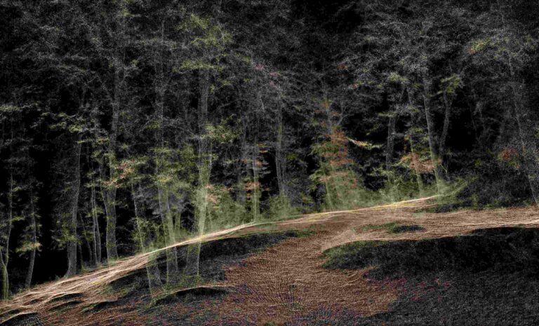
The system has a 360° rotating head, which can generate a 360°x270° point cloud coverage. Combined with the industry-level SLAM algorithm, it can obtain high-precision three-dimensional point cloud data of the surrounding environment without light and GPS.
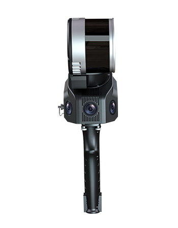
Equipped with three 5MP cameras to generate a 200°FOV horizontal and 100°FOV vertical, capable of synchronously obtaining texture information and producing colour point clouds and partial panoramic images.
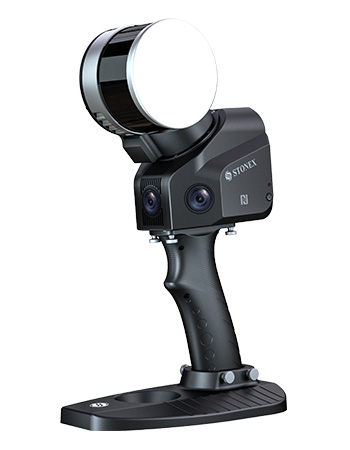
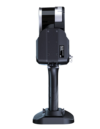
X120GO has an integrated structure design with a built-in control and storage system and built-in replaceable lithium batteries. Once pressed the start button, X120GO can start operations immediately, making data acquisition more efficient and convenient.
You can manage your point clouds in the office with our Cube-3d and Stonex Reconstructor Software or, if you need something different, you can use PointCab. Thanks to the collaboration between Stonex and PointCab, you can process X120GO data with it.
BUNDLED SOFTWARE
![]()
GOapp
GOapp is Stonex SLAM’s dedicated mobile application to manage projects, real time point cloud display, image preview, firmware upgrade and other operations. The APP runs on Android and iOS operating systems.
![]()
GOpost
Windows post processing software which performs optimization processing, colouring of point clouds and creation of panoramic images. You can also import control points to georeference the point cloud.
RAPIDITY AND REDUCED WORKLOAD
No more multiple scan station, just move around the scene to collect the entire 3D point cloud, without time-consuming cloud to cloud alignment. Download the full data right after the capture.
FLEXIBILITY
Combine indoor & outdoor data, even in the most demanding environments.
REAL TIME PREVIEW
See your scanning progress in real time using the dedicated App.
AUTOMATIC CONTROL POINT MEASUREMENT
When capturing data, X120GO is able to collect reference points too. They can be matched with known control points to georeference the scans.
INTEGRATED CAMERAS
Three integrated 5MP cameras are able to cover the wide field of view of the scanner, obtaining coloured point cloud and helf-panoramic images.
X-WHIZZ MODE
X120GO merges mobile and stationary surveying. To the advantageous SLAM solution that allows you to survey large areas in a very short time, it combines a stationary mode to scan with higher resolution. It is the perfect trade-off for those who need speed and detail in a mobile survey.
Applications
Product Videos | Multilanguage
ACCESSORIES
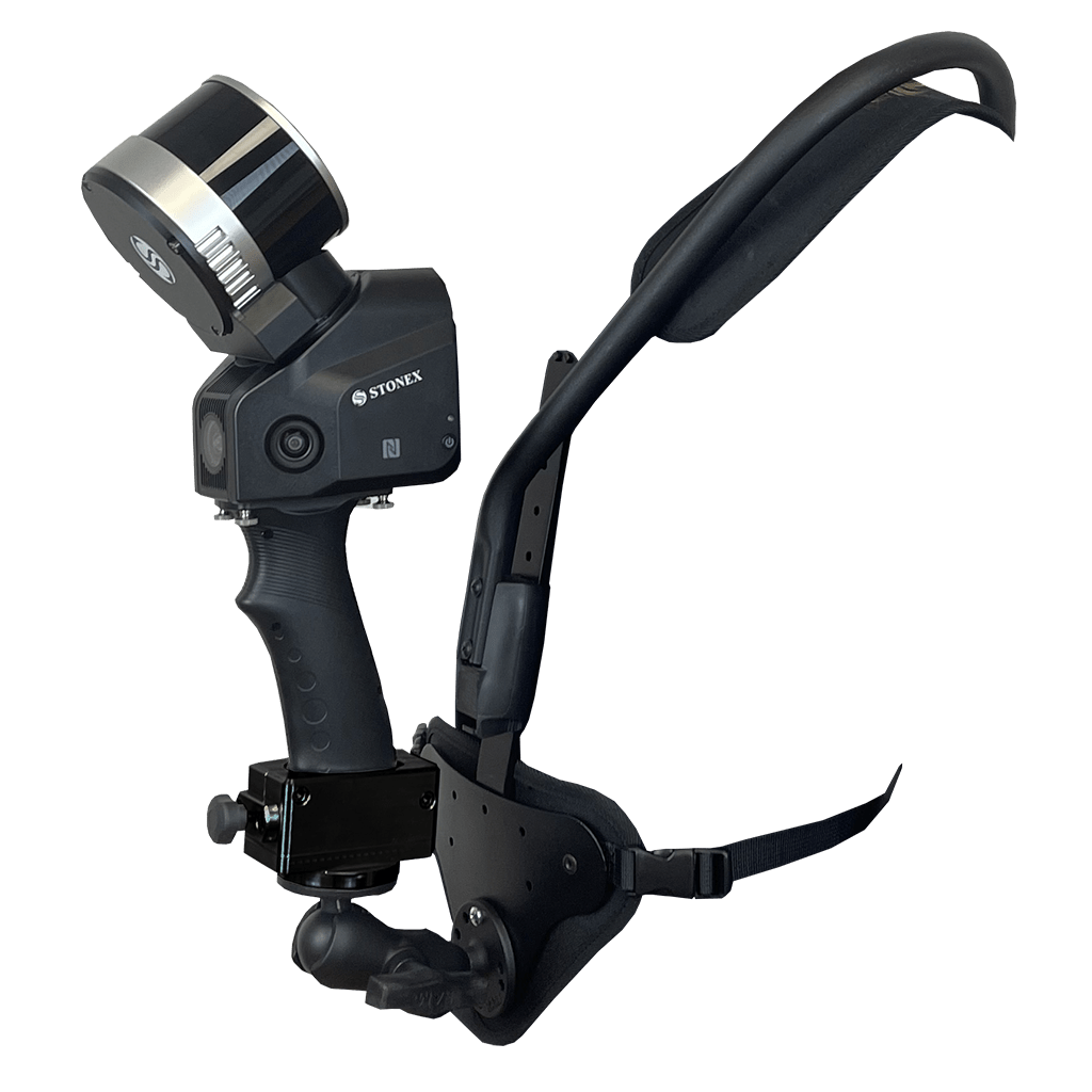
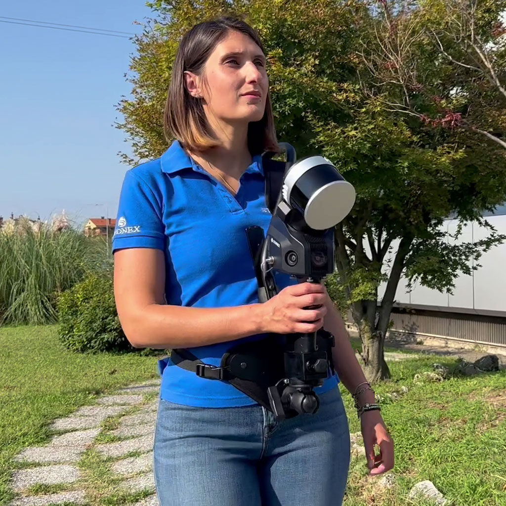
Distribute weight over both shoulders, freeing your hands. Adjustable in both height and angle, it is easy to put on and take off.
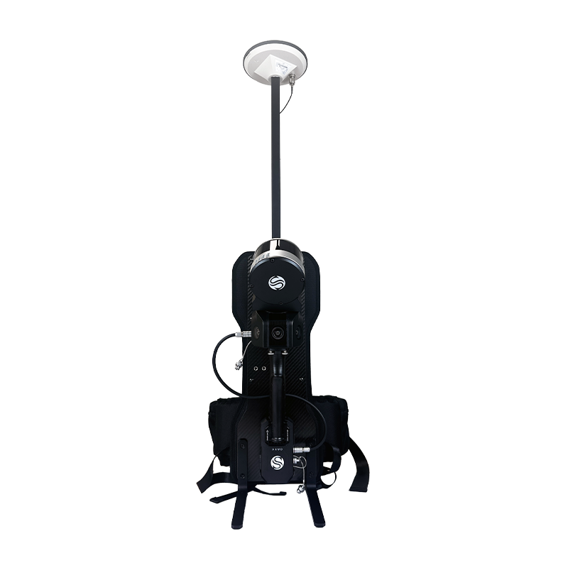
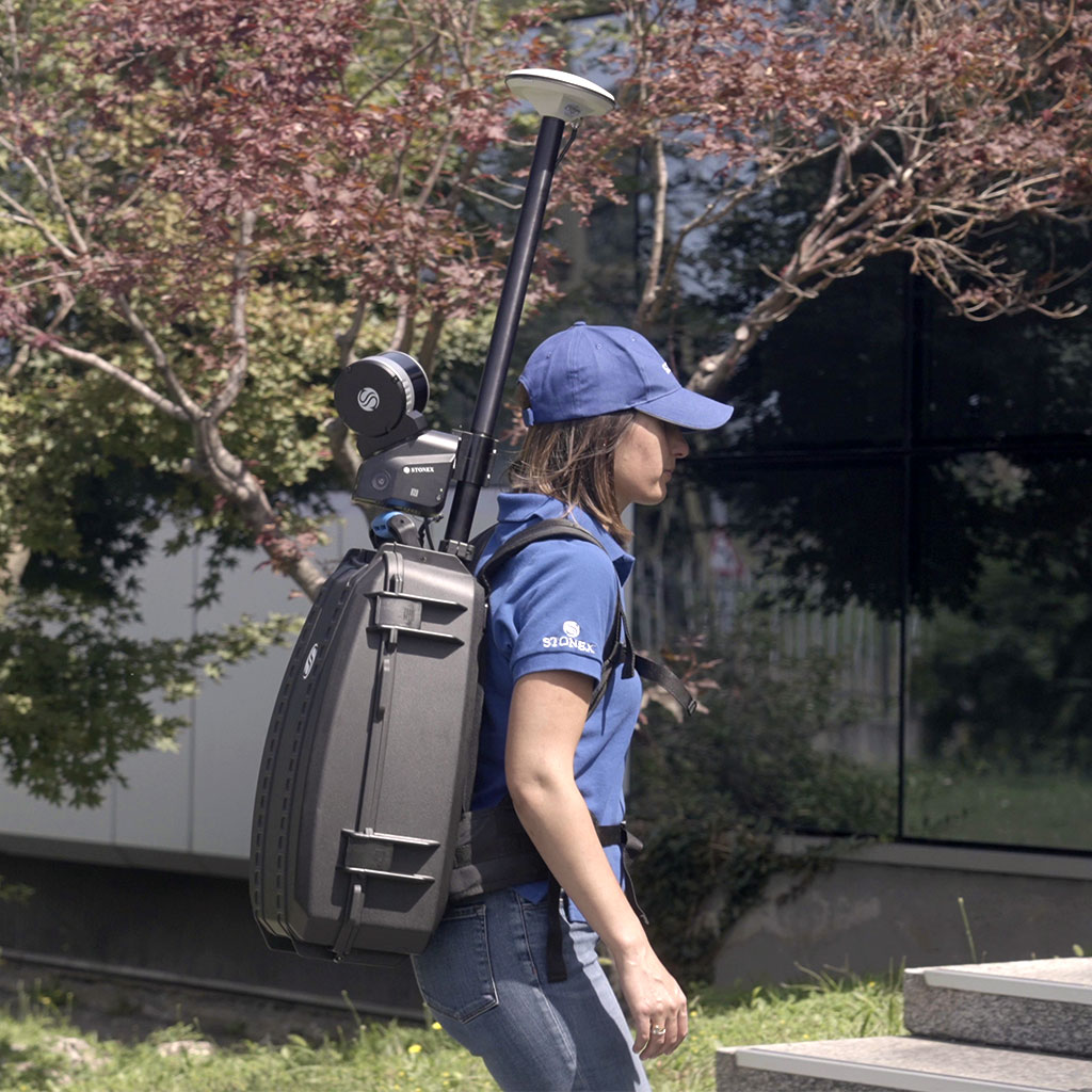
A solution to mount the SLAM scanner on your back and to combine it with the RTK module. Extended surveys will become a simple walk.
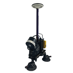
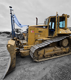
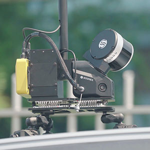
Securely mount your X120GO on a vehicle to collect data on urban environments.
Choose between suction cups or magnets and drive up to 20 km/h.
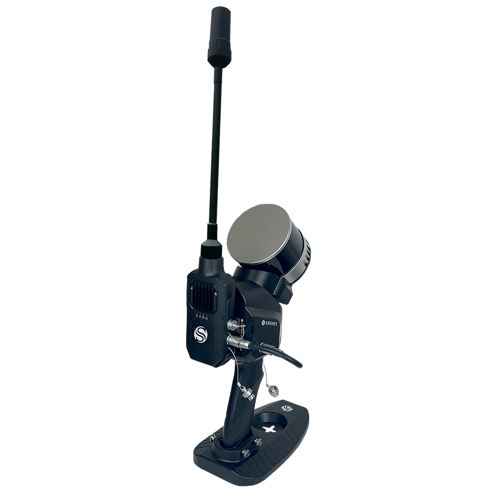
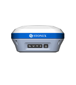
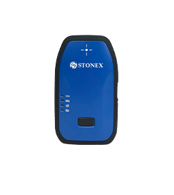
There are several reasons why the RTK module is worth using. First, it places your point cloud in a global coordinate system, but it can also be useful in large surveys to improve the composition of the final 3D model. Indeed, RTK module can help the system, adding GNSS info to LIDAR and IMU. If the GPS does not have a satellite connection, such as indoors, the system will rely on LIDAR and IMU to locate itself.
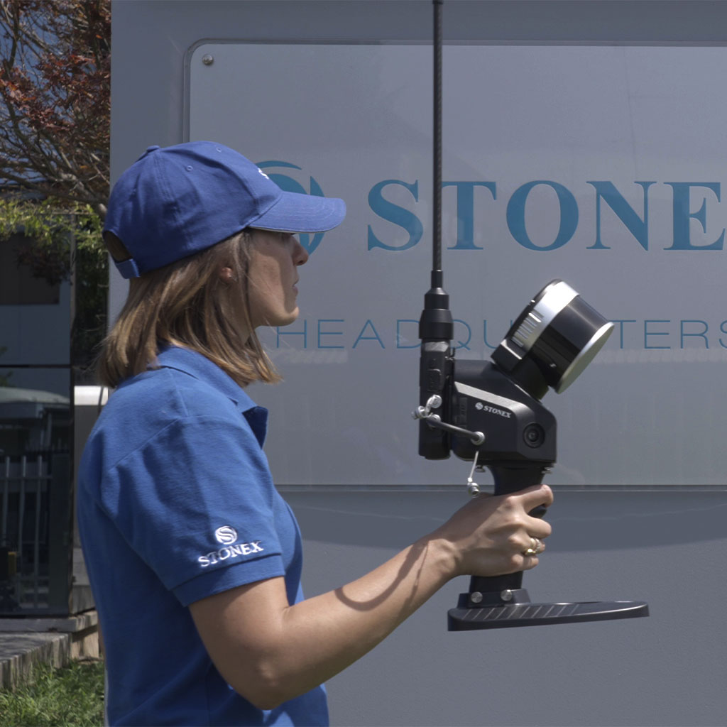
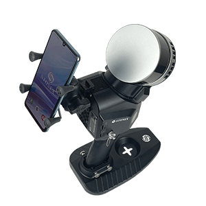
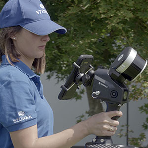
You can use your tablet docket to X120GO to have one hand free while surveying.
The tablet mounted on the back of the scanner allows you to always have eyes-on scan real time preview.
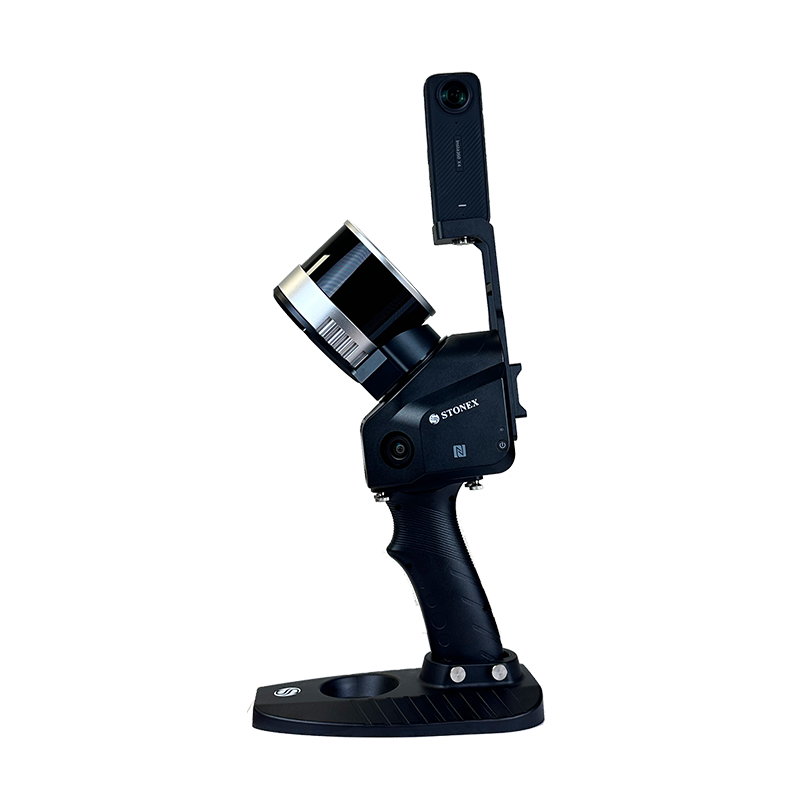

FAQ
No, it is not mandatory. You can choose to collect data using the Android App, in case you need to see the real time preview point cloud. Otherwise, the power button of the device can work as scanning start and stop.
Yes, darkness affects neither the geometric data nor the intensity of the point cloud.
Only the color information will not be usable, having taken dark photographs.
The range shown on the brochure represents the maximum distance achieved by the lidar.
However, you have to keep in mind that in order for the SLAM algorithm to be able to process the cloud optimization, you must have geometric elements within the 50-meter range. Therefore, it is not recommended to work in environments that are too open, with no buildings or objects around.
Certainly, the first benefit of using RTK is to have the 3D model georeferenced, without the need to collect GCPs. In open environments, it can also help the SLAM algorithm in improving the final restitution.
In general, it is not mandatory: the heterogeneity of the environment may be sufficient. On the contrary, if you are in a difficult situation for SLAM, closing the loop means adding a constraint that helps the system.
Discover how a SLAM Laser Scanner can be very useful in every enviroment
Lorem ipsum dolor sit amet, consectetur adipiscing elit. Donec tincidunt eleifend quam, non imperdiet est tristique suscipit. Nunc luctus rutrum neque, nec facilisis velit interdum eget.

