STX-AG | STEERING SYSTEMS
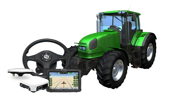
Stonex Agricultural Machinery Guidance System are designed with efficiency and productivity in mind. Installation and use are easy and user friendly, and the intuitive software allows you to easily set all the necessary parameters to drive the machines in the field as needed.
Stonex offers two systems: one visual and the other automatic. In both systems, you can configure various routes and maneuvers, ensuring maximum flexibility. Precision positioning GNSS antennas guarantee excellent maneuvering accuracy, taking your farming experience to the next level of control and reliability.

Compatible with all machines
Qualified Technicians for installation and training
Different pattern
Return on investment through increased efficiency
CONFIGURATIONS
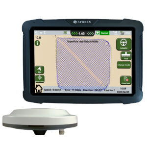
- VISUAL - ag200
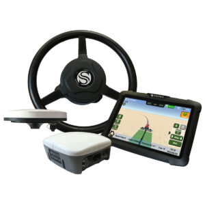
- auto - ag300

STX-AG200 is a facilitated visual guidance system for agricultural machines. Thanks to the dedicated software it is possible to set and monitor the vehicle’s route efficiently and precisely. The software allows to choose one of the predefined routes, and various work modes are available. The GNSS antenna connected to the system allows precision positioning and therefore reduces the risk of route errors. The operator only needs to follow the path defined by the software.

The STX-AG300 is an automatic driving system that allows you to avoid making mistakes when driving machines in the field. Thanks to the electric sensor installed on the steering wheel, the operator will no longer have to maneuver the vehicle independently, but will be assisted entirely by the system. Route planning can be carried out directly in the software, the system will therefore be able to act autonomously, guaranteeing centimeter precision thanks to the GNSS antennas connected to the system.

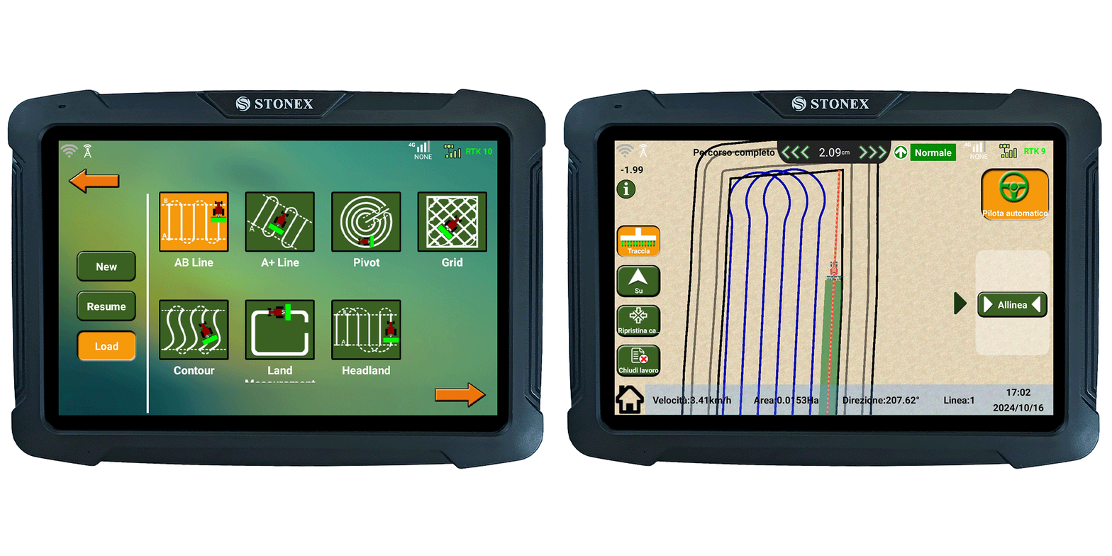
USER FRIENDLY SOFTWARE
Thanks to our software it is possible to set up and execute excavation operations quickly and easily.
The simple and clean interface has been specifically designed to achieve maximum efficiency in the field
For Android devices
User friendly interface
Feature-rich and customizable
FAQ
The solution STX-DIG (2D module) determine the direction/heading using two passive antennas set on the cabin roof. The passive antennas are connected with a dual Antenna GNSS Receiver integrated into the Android Tablet. The tablet provide just the heading when it is used in 2D and stand-alone way (without the use of any correction). Without any correction (Ntrip or Base) the GPS sensors will be use only like a compass heading. In this way it is possible to know the Excavator Rotation with a precision of 0.2°
In 1D or 2D module, when the excavator is moved, the operator use the laser receiver installed on the stick to the laser reference plan when he moves the excavator.
The 2D ½ module use the NTRIP signal to get elevation through the GPS antenna. In this way the operator does not need any Laser Receiver on Excavator Stick and Laser Level.
The main characteristics of the angle sensor are speed, reliability and reduce dimension:
- Small in size
- Minimal latency (<40 ms)
- Same sensor for all machine parts
- Easily installed
- Include internal heating element
- Cast aluminum housing
- 3-axis gyro
- Include IMU
The sensor can be fit on the machine using a weld Bracket Place (included in the solution)
Yes, it is.
Lorem ipsum dolor sit amet, consectetur adipiscing elit
Lorem ipsum dolor sit amet, consectetur adipiscing elit. Ut elit tellus, luctus nec ullamcorper mattis, pulvinar dapibus leo.
