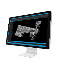
Scan auto-alignment
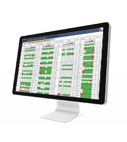
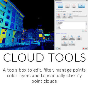
Delivery extraction
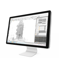
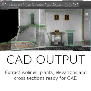
Full export
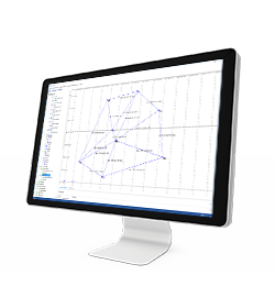
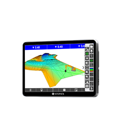
Reconstructor
Software for LiDAR data

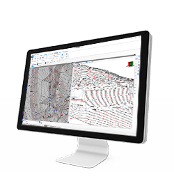
Full export
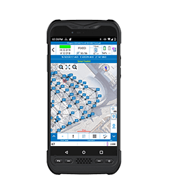
Delivery extraction
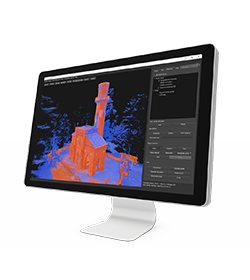
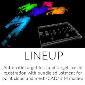
Scan auto-alignment
THE POWERFUL PROCESSING SOFTWARE FOR LIDAR DATA
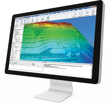
A multi-sensor and multi-resolution software used worldwide to manage 3D point clouds and images coming from different lidar and imaging platforms.
Main features:
• Processing of point clouds and raw data from several laser scanners (terrestrial, handheld, mobile, airborne)
• Integration of point cloud models from UAV and photogrammetric surveys
• Automatic target-less registration of 3D scans from various instruments
• Colourization of point clouds with RGB images from high-res cameras
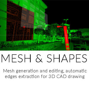
• Creation of mesh models
• Computation of volumes, areas, profiles, contour lines
• Direct export of outputs and formats to the main third-party software (e.g ReCap Pro)
RECONSTRUCTOR SOFTWARE will guide you trough a complete and clear workflow with expandable modules suited to your needs.
Minimum requirements of PC to work with Reconstructor at the best:
- OS: Windows 64 bit
- CPU: multi-core processor (8 Core)
- Graphic card:
- NVIDIA GeForce GTX , 2GB di Ram (for point cloud work)
- NVIDIA Quadro (for mesh e texture work)
- RAM: 16GB

MANAGING DATA
DATA INPUT
• Aerial images
• Video
• Images taken by any hand camera
• Total stations & GNSS points
• Region geoid data
• *.dxf data
• Cube-a format (*.cx3d)
• Photogrammetry point cloud
• LIDAR point cloud
• XML surface data
• Orthophoto maps
• Underwater images
• Predefined camera parameters import
• Telemetry data import
• Camera offset support
• Cube-a format (*.cx3d)
• Bathymetry sonar cloud
DATA OUTPUT
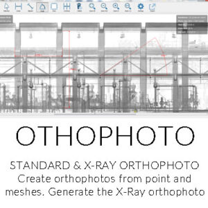
• Orthophoto (*.Tiff, *.JPG, *.PNG, *KMZ, …)
• Textured 3D model (*.obj, …)
• Point cloud (*.e57, *.las, *.ply, …)
• Digital surface model (*.obj, *.xml)
• Regular/irregular grid mesh
• Contour lines (*.dxf, *.pdf, …)
• CAD drawings (*.dxf)
• Selected points (*.dxf, *.txt, …)
• Quick scketches (*.pdf, *jpg, *.png)
• Survey maps (*dxf, *.pdf, *.jpg, …)
• Camera parameters
• Undistorted images
Modules
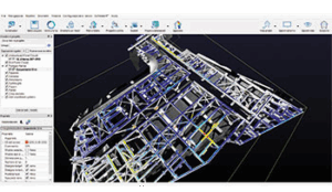
RECONSTRUCTOR
Advanced features for BIM, Architecture and Construction.
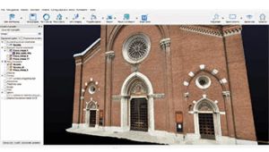
RECONSTRUCTOR COLOR
Use your own high resolution camera to color the scans.
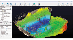
RECONSTRUCTOR MINING
All you need for quarries, cut&fill volumes, excavations, DTM.
In March 2022 Stonex had the opportunity to carry out a series of surveys inside and outside the “Torretta Viscontea” located in the Monza Park
- Related products

