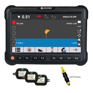
The 1D system is the easiest to install and use. It allows you to manage the digging and vertical leveling phases quickly and precisely. It is a perfect starting point for the user approaching the world of machine control for the first time. Suitable for excavators and mini excavators. You can always check the bucket position from the screen in real time. Complex tasks such as underwater digging and blind digging are simplified because you can always keep an eye on the bucket on the screen. You can work with different height references such as an existing surface or a rotating laser.
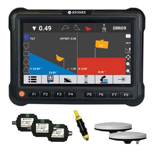
The 2D system allows operations to be managed even on the horizontal plane, thanks to the use of a GNSS antenna installed on the machine (heading). It is the simplest solution if you have to work with double slopes. You can create slopes and excavations in any orientation. Just enter the depth of the excavation, the slopes and you can start working. The system uses GNSS antennas like a compass. The system can work with the Touch and Go function or with the laser to transport the working height of the construction site.
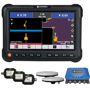
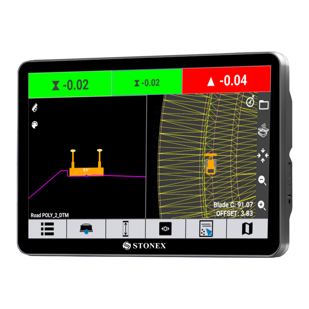
The 3D Easy system allows you to fully move the excavator around the jobsite transporting the working heights thanks to the GNSS RTK. You can create directly on the field different types of projects such as a plane surface, sloped surfaces like ramps or pitches, delimited areas for building’s foundations. You can use the bucket of the excavator to measure distances from references points or lines in the project.
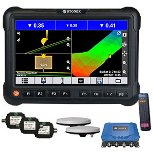
3D Pro allows you to manage complex projects thanks to the ability to import geo-referenced projects. The perfect integration of the data collected with field GNSS receivers and the excavation system makes the process very simple and fast.
Stay up to date with the latest news, products, promotions
and events from Stonex.