powerful
manage GNSS network
For Windows OS
GNSMART2
Software for GNSS Network

powerful
manage GNSS network
For Windows OS
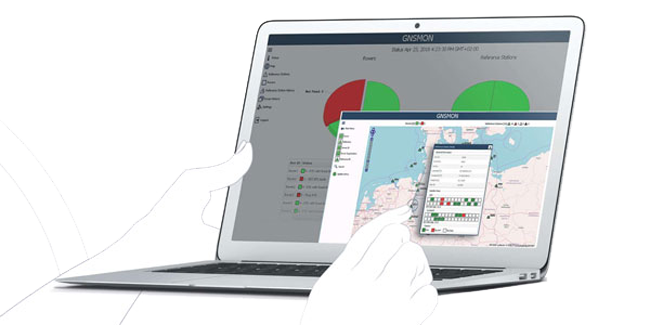
GNSMART2 is the best solution for high accuracy real-time positioning without hardware restrictions.
What is the GNSMART ?
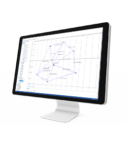
GNSMART2 (GNSS State Monitoring And Representation Technique) is a software that enables the consistent and seamless estimation of GNSS errors (rigorous solution) and provides both OSR and SSR corrections.
The data transmitted by GNSS technology allows high resolution observations but remains affected by many errors (satellite errors, orbit errors…). The GNSMART2 software allows to process these errors.
GNSMART2 supports:
- more than 20 proprietary receiver interfaces (hardware independent)
- standardized input formats (RINEX, RTCM) and others (BINEX)
- heterogenous networks
- international RTCM standard: RTCM3, FKP, Non-Physical Reference Stations, MAC, RTCM3-MSM
- open formats: SSRZ, SAPA, Compact SSR, …
Configurable
Individual configurable and transparent software structure
Simplified
Simplified and modernized visualization/interface for operators and users
Management
Modernized operation and user management
All systems
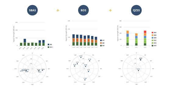
Consistent and seamless estimation of GNSS errors (rigorous solution) supporting: all systems, all signals, any reference station, scalable networks, any rover
Output
Providing various output formats
MANAGING DATA
DATA INPUT
• Aerial images
• Video
• Images taken by any hand camera
• Total stations & GNSS points
• Region geoid data
• *.dxf data
• Cube-a format (*.cx3d)
• Photogrammetry point cloud
• LIDAR point cloud
• XML surface data
• Orthophoto maps
• Underwater images
• Predefined camera parameters import
• Telemetry data import
• Camera offset support
• Cube-a format (*.cx3d)
• Bathymetry sonar cloud
DATA OUTPUT
• Orthophoto (*.Tiff, *.JPG, *.PNG, *KMZ, …)
• Textured 3D model (*.obj, …)
• Point cloud (*.e57, *.las, *.ply, …)
• Digital surface model (*.obj, *.xml)
• Regular/irregular grid mesh
• Contour lines (*.dxf, *.pdf, …)
• CAD drawings (*.dxf)
• Selected points (*.dxf, *.txt, …)
• Quick scketches (*.pdf, *jpg, *.png)
• Survey maps (*dxf, *.pdf, *.jpg, …)
• Camera parameters
• Undistorted images
In March 2022 Stonex had the opportunity to carry out a series of surveys inside and outside the “Torretta Viscontea” located in the Monza Park
- Related products

