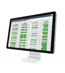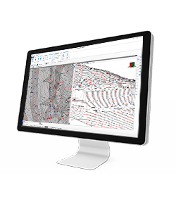
different modules
manage GNSS network
For Windows OS
Cube-nrtk Software
Manage GNSS station networks

different modules
manage GNSS network
For Windows OS
On this page:
Cube-nrtk is a GNSS software designed for managing GNSS station networks. Utilizing data from reference stations in real-time, it calculates a network solution to provide users with accurate positioning. The software offers an intuitive graphical interface for real-time monitoring of network performance and user activity.
It efficiently manages the four major constellations: GPS, GLONASS, Galileo, and BeiDou, across three frequencies. Additionally, it supports various network solutions such as Virtual Reference Station (VRS), Master Auxiliary Concept (MAC), and Flächen Korrektur Parameter (FKP). Cube-nrtk is offered in two versions, Cube-nrtk BASE and Cube-nrtk FULL, allowing users to exploit the software modules according to their specific needs.
In particular Cube-nrtk BASE offers all the needed modules to set up a caster solution with single base and nearest corrections, while Cube-nrtk FULL includes all the software modules for the complete network solution. At any moment, it is possible to upgrade from the BASE version to the FULL version.
The FULL version includes a web interface through which users can register and later request station RINEX or Virtual RINEX files. Additionally, the software includes an online post-processing service. A solution integrity monitoring system is also included in the software. Specifically, it displays ionospheric activity, analyzes station data quality, and provides real-time results for baselines.
GNSSReceivers
A module that enables connection with all receivers within the network.
SSDataQC
This module allows for a quality check of the data received from the stations.
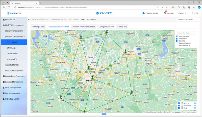
GNSSSubnet
The main component responsible for network definition and calculation of differential corrections.
GNSSCaster
A module for distributing differential corrections to users.
StaRTKMonitor
In this module, the coordinates of reference stations are calculated in real-time, and any deviations from the reference coordinates set by the user are displayed.
Software Configuration and Management
System configuration
caster address and port, data storage, automatic start settings.
Station configuration
connection settings, general information, antenna type, coordinates.
Network configuration
composition of one or more subnets based on the available stations.
MANAGING DATA
DATA INPUT
• Aerial images
• Video
• Images taken by any hand camera
• Total stations & GNSS points
• Region geoid data
• *.dxf data
• Cube-a format (*.cx3d)
• Photogrammetry point cloud
• LIDAR point cloud
• XML surface data
• Orthophoto maps
• Underwater images
• Predefined camera parameters import
• Telemetry data import
• Camera offset support
• Cube-a format (*.cx3d)
• Bathymetry sonar cloud
DATA OUTPUT
• Orthophoto (*.Tiff, *.JPG, *.PNG, *KMZ, …)
• Textured 3D model (*.obj, …)
• Point cloud (*.e57, *.las, *.ply, …)
• Digital surface model (*.obj, *.xml)
• Regular/irregular grid mesh
• Contour lines (*.dxf, *.pdf, …)
• CAD drawings (*.dxf)
• Selected points (*.dxf, *.txt, …)
• Quick scketches (*.pdf, *jpg, *.png)
• Survey maps (*dxf, *.pdf, *.jpg, …)
• Camera parameters
• Undistorted images
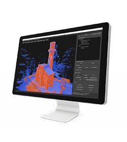
In March 2022 Stonex had the opportunity to carry out a series of surveys inside and outside the “Torretta Viscontea” located in the Monza Park
- Related products

