
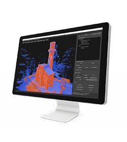
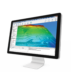
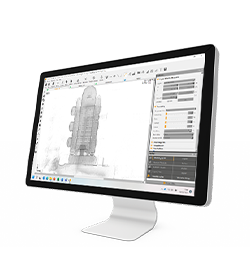
powerful
manage 3D data
For Windows OS
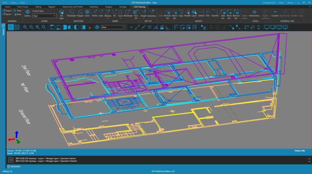
Editing, filtering and managing point clouds
powerful
manage 3D data
For Windows OS
Thanks to the collaboration between Stonex and aplitop, you can try this powerful software with our Laser Scanners.
• Imports clouds from standard formats and represents them by attributes such as color, intensity, category, etc.
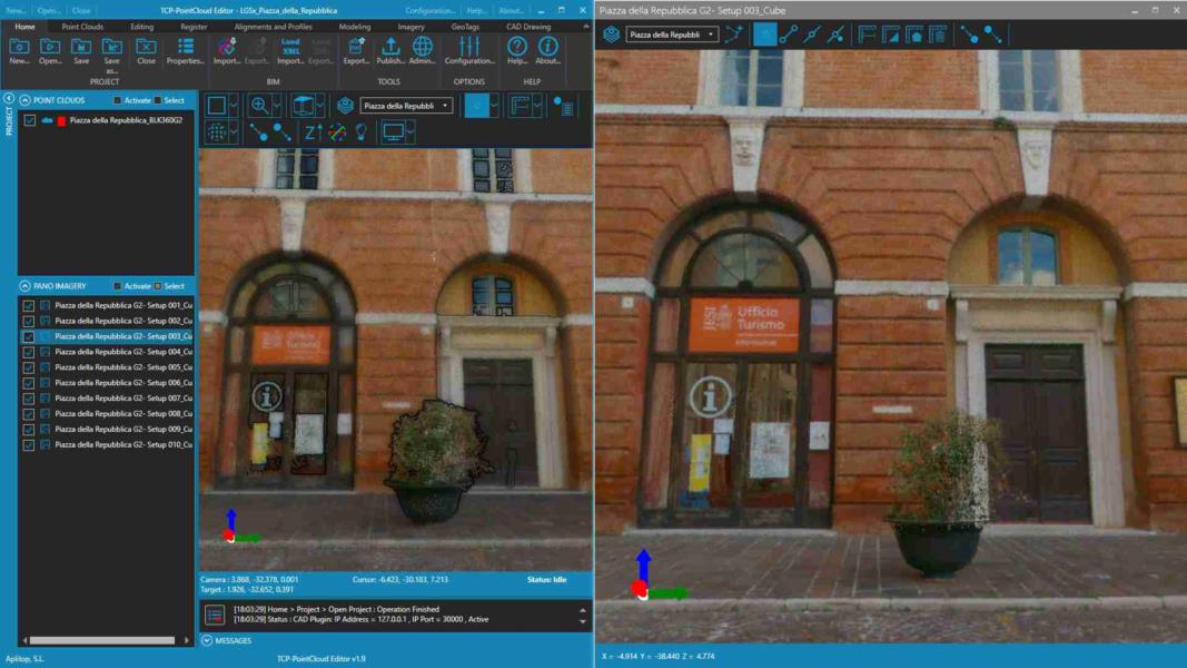
• Import images from E57 and LGSx files.
• Easily and intuitively measure and draw on the cloud or 360° image.
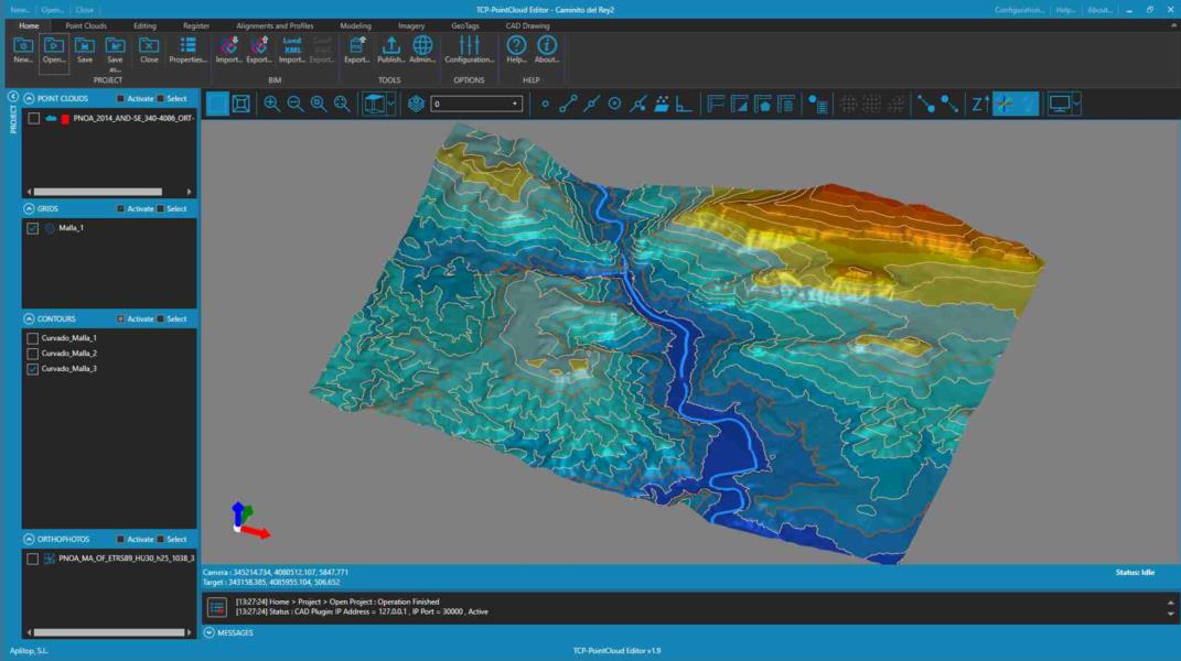
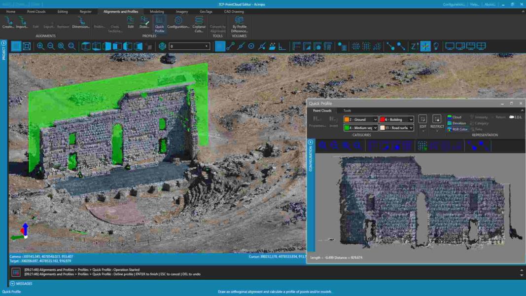
• Create profiles in plan and elevation.
• Easily manage geotags.
• Optimize productivity with advanced features such as automatic vectorization.
• Edit, analyze, and classify points according to various criteria.
• Generate 3D surfaces or meshes and calculate volumes.
• Synchronize your work in real time with AutoCAD®, BricsCAD®, GstarCAD® or ZWCAD®.
• Share your results in standard formats such as DWG, 3D PDF, IFC, etc.
• Use the web viewer to publish your projects to the cloud and view them from any device.
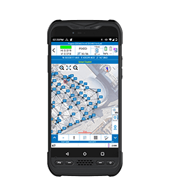
• Aerial images
• Video
• Images taken by any hand camera
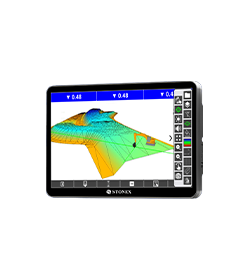
• Total stations & GNSS points
• Region geoid data
• *.dxf data
• Cube-a format (*.cx3d)
• Photogrammetry point cloud
• LIDAR point cloud
• XML surface data
• Orthophoto maps
• Underwater images
• Predefined camera parameters import
• Telemetry data import
• Camera offset support
• Cube-a format (*.cx3d)
• Bathymetry sonar cloud
• Orthophoto (*.Tiff, *.JPG, *.PNG, *KMZ, …)
• Textured 3D model (*.obj, …)
• Point cloud (*.e57, *.las, *.ply, …)
• Digital surface model (*.obj, *.xml)
• Regular/irregular grid mesh
• Contour lines (*.dxf, *.pdf, …)
• CAD drawings (*.dxf)
• Selected points (*.dxf, *.txt, …)
• Quick scketches (*.pdf, *jpg, *.png)
• Survey maps (*dxf, *.pdf, *.jpg, …)
• Camera parameters
• Undistorted images
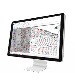
In March 2022 Stonex had the opportunity to carry out a series of surveys inside and outside the “Torretta Viscontea” located in the Monza Park
* Mandatory field
Stay up to date with the latest news, products, promotions
and events from Stonex.

