Case Studies

Discover what our tools can do with real case studies

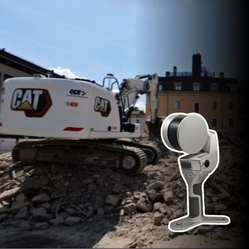
Stonex X120GO for a Safer and More Efficient Demolition Project

Surveying a Complex Urban Site In the centre of Riva del Garda, ZA Srl was tasked with carrying out a complex demolition project that required a detailed understanding of the building before work could begin. Due to the site’s urban location and structural complexity, accurate and complete survey data...

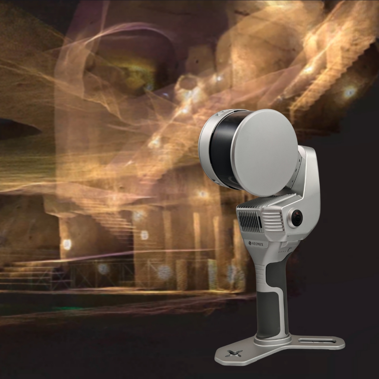
Underground Excellence: SLAM Technology at Galleria Borbonica

3D surveying for cultural heritage documentation The Galleria Borbonica, located beneath the historic center of Naples, is one of Italy’s most fascinating underground heritage sites. Its tunnels, galleries and architectural details create a complex environment where fast and accurate reality capture is essential. For this project, Gianluca Minin used...

Perserving heritage through 3d technology

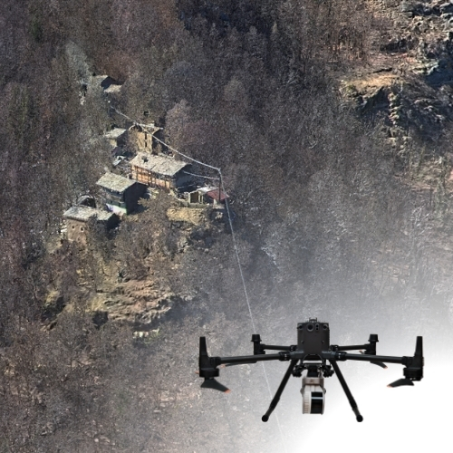
The DIRECT (Disaster and Recovery Team) team from Politecnico di Torino has resumed its 2026 activities. Master’s students in Architecture and Building Engineering Nicolò Gallo, Cristian Imbriani, and Cristina Tosolini took part in data acquisition campaigns focused on minor architectural heritage in the Pellice and Germanasca valleys. The activities...

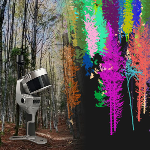
Exploring the Future of Forest Management

3D Survey for Forest management and Tree extraction information 1. Introduction Scans were carried out in an Austrian forest to demonstrate the capabilities of SLAM technology in woodland environments. Two sections of forest were surveyed with different types of terrain and conditions. In addition, the ability to georeference the...

TMB 2025 Traverse Update

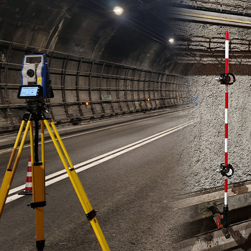
Case Study: The Mont Blanc Traverse Update INTRODUCTION Mont Blanc Tunnel (TMB) is a 11.6 km highway tunnel connecting Courmayeur, in the Italian region of Valle d’Aosta, to Chamonix, in the French department of Haute-Savoie. Built between 1957 and 1965, it is a strategic transalpine transport route for trade,...

The Valcellina Case Study

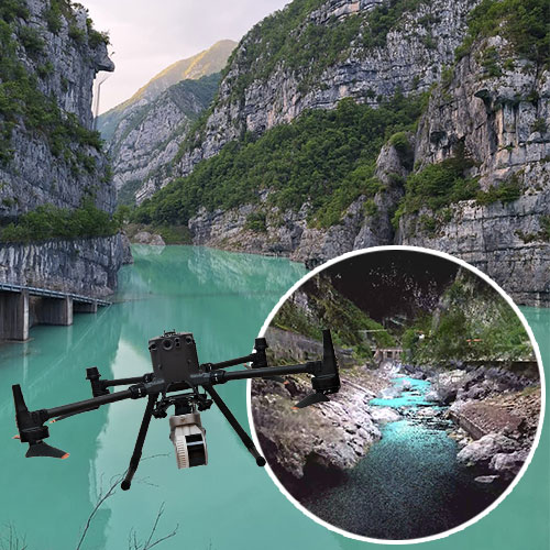
Large-Scale 3D Survey in a Mountain Canyon for Engineering and Infrastructure Planning 1. Introduction In the rugged alpine environment of Valcellina, a 5 km canyon corridor was surveyed using drone-mounted SLAM technology to support engineering studies and infrastructure planning. The survey contributes to a broader project aimed at maintaining...

UAV SLAM LiDAR Survey for Glacier Monitoring

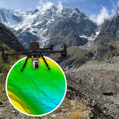
The Belvedere Case Study The Belvedere Glacier, situated in Valle Anzasca at the base of Monte Rosa, is one of the most extensively studied debris-covered glaciers in the Alps. Unlike clean ice glaciers, its surface is concealed by a layer of rocks and sediments, which protects the underlying ice...

Send Us a Message

* Mandatory field