ARCHITECTURE & CONSTRUCTION
With our instruments it is possible to carry out surveys during the construction phases of buildings but also to recreate 3D digital models to investigate the actual state of structures and buildings.
Collect in minutes millions of points, recording your urban environment with our SLAM Laser Scanners. The GPS integration will speed up your 3D scans georeferentiation and integration with existing GIS data.
Our softwares will help you in reconstructing wide areas in the virtual model, and performing segmentation and classification of buildings, signs, trees, etc.
Integrated models can also easily be created by combining Laser scanner point clouds, photos, photogrammetric models, thermal images, Satellite/Aerial imagery.
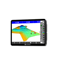
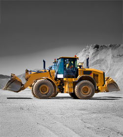
For the Machine Control world, Stonex is able to provide a complete solution for excavation operations on construction sites.
Collect 3D data in minutes
Our instruments can work in every environment
Machine Control solutions
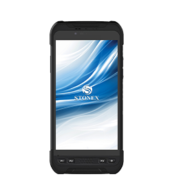
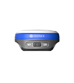
High precision instruments

