Search
Close this search box.

Case Studies

Discover what our tools can do with real case studies

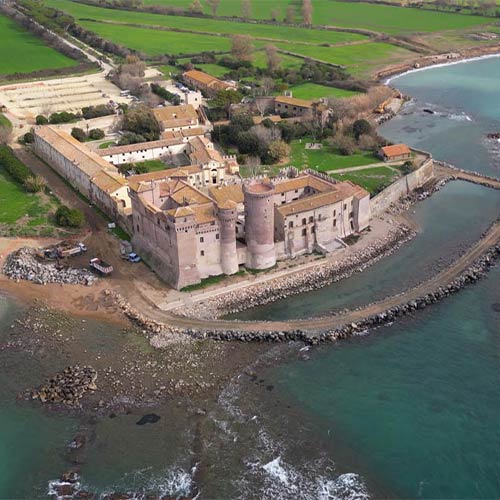
Santa Severa Castle Survey – Italy

Last year, Stonex tackled an extraordinary technological challenge: the survey of the majestic Santa Severa Castle, a true historical and cultural jewel located on the Tyrrhenian coast north of Rome. This evocative site, with deep roots dating back to ancient Pyrgi in the 7th century BC, has seen the...

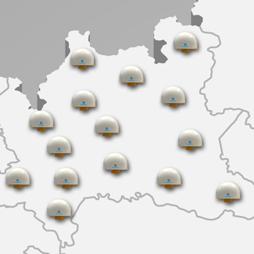
Stonex contributed to the enhancement of the SPIN3 GNSS Network in the Lombardy Region

Obtaining the maximum technical score for performance and specifications, Stonex won the tender for the enhancement and updating of 15 devices of the Lombardy Region of the SPIN3 GNSS Network. (https://www.spingnss.it/spiderweb/frmIndex.aspx) The SPIN3 Interregional Positioning Service, through the collaboration between three regional bodies (Lombardy Region, Piedmont Region and Autonomous...

Stonex updates GNSS stations in the Liguria Network

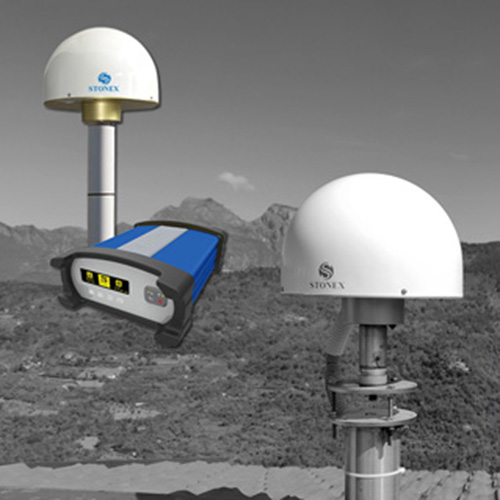
Stonex ha provveduto nei mesi scorsi ad aggiornare la Rete di stazioni GNSS della Regione Liguria. Questo aggiornamento è stato eseguito per ammodernare la tecnologia della rete. Sono stati sostituiti gli apparati hardware delle stazioni GNSS (Antenne e Ricevitori) ed è stato aggiornato il software di rete Geo++ GNSMART...

Stonex XVS – The Videogrammetric Scanner with vSLAM Technology

In recent years, we have seen how Lidar technology has conquered the market in an extraordinary way. The reliability of the capture, the accuracy and the speed of acquisition are factors that have been decisive in the diffusion of this technology. Furthermore, in the last 10 years [ref 1],...

Stonex Solutions – Torretta Viscontea Monza Park – Italy

In March 2022 Stonex had the opportunity to carry out a series of surveys inside and outside the “Torretta Viscontea” located in the Monza Park. The goal was to obtain a detailed and geo-referenced 3D model of the building in order to produce accurate elevations and floor plans of...

Heritage

“Since we started using X300 the geometrical survey of historical buildings by laser scanner is for us a common practice. The preliminary outcome is a numerical 3D model, usually of walls. The addition to it of a photographic survey gives a realistic picture of the building, very useful both...

Send Us a Message

* Mandatory field